


Reverdi Ffrs

Sugg
User
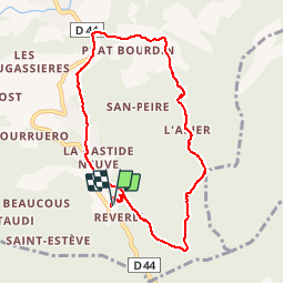

Length
9.1 km

Max alt
243 m

Uphill gradient
246 m
Km-Effort
12.3 km

Min alt
57 m

Downhill gradient
243 m
Boucle
Yes
Creation date :
2019-03-22 16:59:18.331
Updated on :
2019-03-22 16:59:18.431
2h35
Difficulty : Unknown

FREE GPS app for hiking
 SityTrail
IGN / Geographical institutes
SityTrail Plus
The world is yours!
About
Trail Walking of 9.1 km to be discovered at Provence-Alpes-Côte d'Azur, Var, Le Plan-de-la-Tour. This trail is proposed by Sugg.
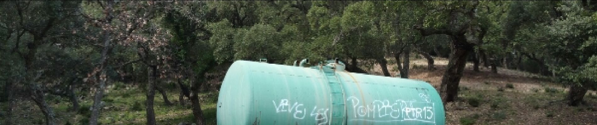
Photos


Positioning
Country:
France
Region :
Provence-Alpes-Côte d'Azur
Department/Province :
Var
Municipality :
Le Plan-de-la-Tour
Location:
Unknown
Start:(Dec)
Start:(UTM)
301540 ; 4797874 (32T) N.
Comments